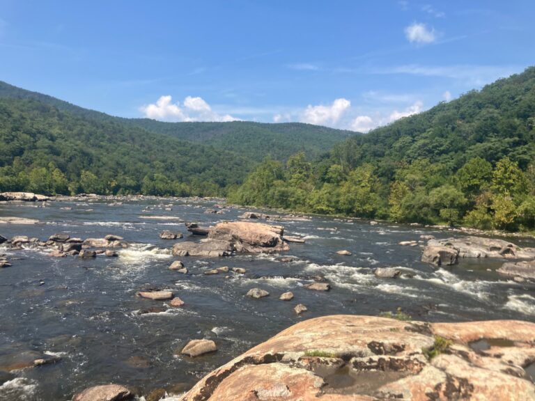
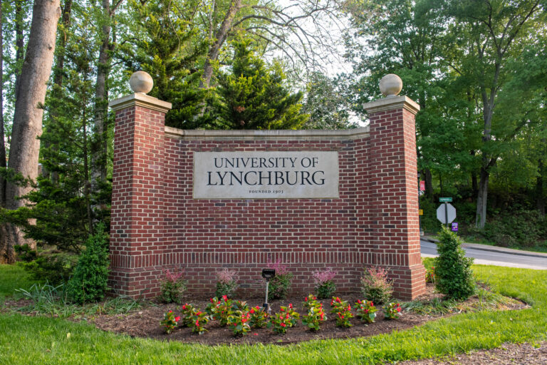
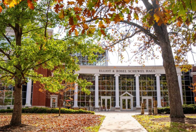
This fall, students in Dr. Dave Perault’s Geographic Information Systems class, ENSU 380, are mapping a section of the James River around Balcony Falls, a popular Class II and III whitewater route for kayakers, rafters, and canoeists.
In September, Perault, his students, and staff from the University of Lynchburg’s Outdoor Leadership Program traveled to Glasgow, Virginia, where they paddled a five-mile section of the river and took photos and measurements of the waterway and surrounding features.
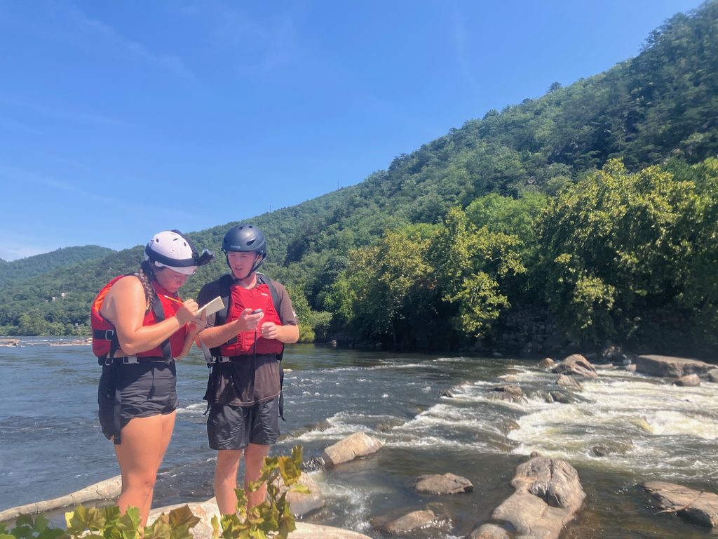
“Our focus is to describe this stretch of the river so others can enjoy it safely,” Perault said. “We map access, hazards such as rapids, viewpoints, and anything else we feel someone would find helpful. It all depends on the target audience.
“Boaters may want rapids and surfing holes. Biologists might be more interested in critical habitat for endangered species or water quality impacts. Search-and-rescue personnel would be looking for river access, hazards, and transit to local hospitals.”
Back in the classroom, the students used what they collected and documented to build what are called StoryMaps, using a web-based software developed by ArcGIS. Each student made their own map, and at the end of the semester Perault will use them to create a class map.
“StoryMaps allow us to take the technical information created with GIS software and easily share it with the public,” Perault said. “StoryMaps require no prior expertise, are interactive, and readily available via the web — think Google Maps on steroids.”
As further explained on the ArcGIS website, StoryMaps “combine maps, 3D scenes, embedded content, multimedia, and more into an interactive narrative that can create awareness, influence opinion, and affect change.”
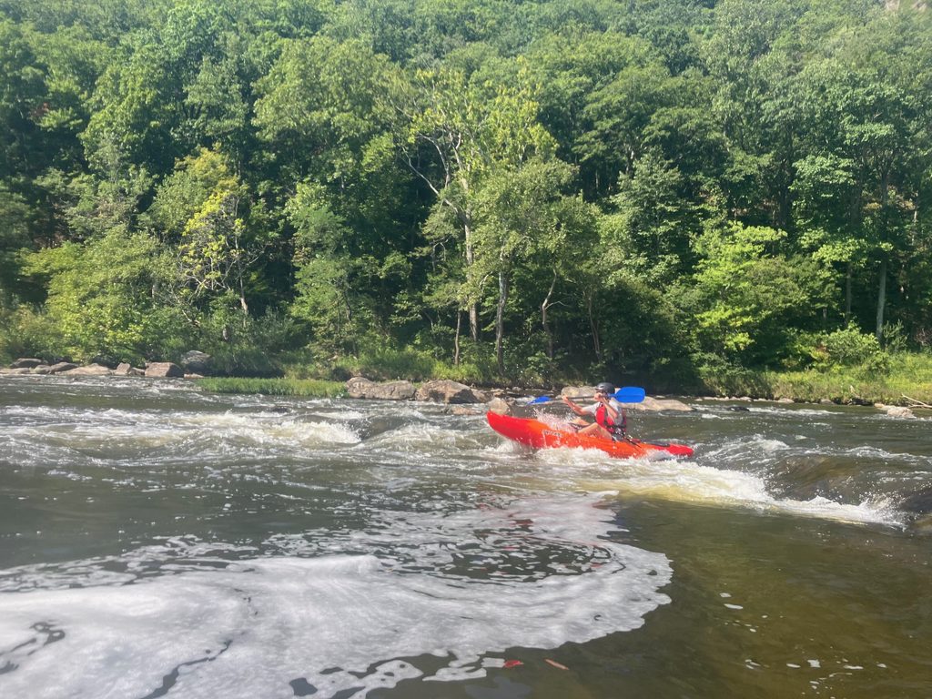
This semester’s work is a continuation of what past GIS classes have done to map the river’s features. This year, Perault said, they “tried to focus more on the recreational opportunities in the area,” including the Appalachian Trail, which crosses the river nearby.
“How do we … think about tourism? How could we promote this area? So, it’s not just paddling, it’s also camping, hotels, restaurants, going hiking on the AT, going to Natural Bridge, things like that,” he said, adding that McDonald’s has long used GIS to determine the best locations for its franchises.
“Instead of simply guessing, a GIS allows you to query for suppliers, competitors, and customers, and can show you the most optimal location. … Our students gain valuable skill sets related to spatial technologies such as GIS and GPS mapping. These form the basis for most maps you see today, whether they be a weather forecast, traffic congestion, or a recent measles outbreak.
“These skill sets are invaluable for numerous professions. Just think how often you see a map during your day.”