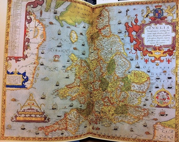
Sixteenth-century England experienced a host of major changes all at once — King Henry VIII’s break with the Roman Catholic Church, a shift in land ownership, surveying technologies, mapping, and Shakespeare.
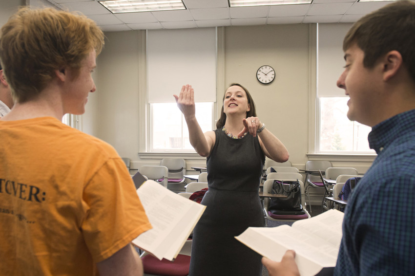
Dr. Robin Bates will connect those changes in a lecture at 7 p.m. Tuesday, February 5, in Memorial Ballroom of Hall Campus Center. “Sixteenth Century Mapping and Shakespeare’s Imagined England” explores the interplay between the playwright and other cultural and political changes.
“By the time Shakespeare was writing his great English plays … the English were getting a sense of what their land looked like and who could own it, and who belonged to it,” Dr. Bates said.
Dr. Bates pointed out that when England left the Catholic Church, one-third of the country’s land was owned by monasteries and convents. “All of a sudden, the crown was able to take one-third of the land from the Catholic Church and start distributing it,” she said.
Meanwhile, advances in surveying technology made it possible to create more accurate maps. Shakespeare and other writers used maps and geographical references, as well as other, abstract methods, to explore the new understanding of land. “What Shakespeare was doing was helping people in a theater in London mentally map out what their country looked like in a way that had not been possible before,” Dr. Bates said.
Three of Dr. Bates’ students — Joshua Bell ’19, Julie Short ’20, and Barbara Yauss ’20 — will be on hand to read selections from Shakespeare’s plays that help illustrate the point.

Dr. Bates’ talk is part of the University Lecture Series, which features an array of lectures by scholars at the University of Lynchburg. This semester’s lineup also includes Dr. John Eric Goff speaking about sports physics at 7 p.m. on April 15.

